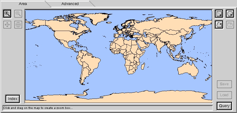
The upper left button showing a magnifying glass with a + symbol is for zooming in. In the satellite imagery industry, zoom in is usually done with a "rubber band" - use the mouse to show the boundaries of the area you want to zoom in to. The "rubber band" is shown here in red.
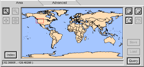
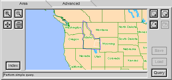
The zoom is now complete. Click on the "Polygon area of interest" button on the right and draw a polygon around the state of Idaho. Then click on the Query button (the applet is currently in "query the archive" mode, instead of "task the satellite" mode). A selection of images in the datbase are pulled up and shown.
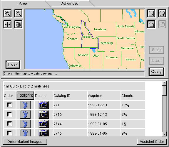
I click on the button that looks like a foot in one of the results. A "footprint" of the image is shown with white lines. This represents the area of the database image. Clicking on the camera next to the footprint button will bring up a browse image of the actual photo, but I don't have permission to show that here.
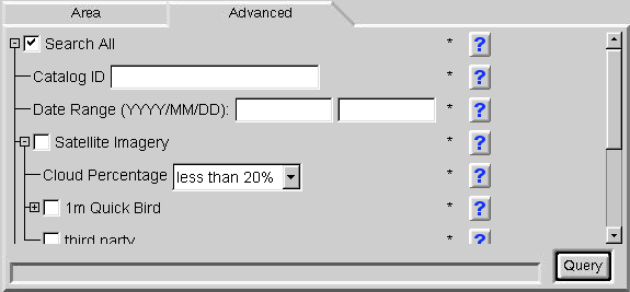
Here is the advanced query panel. These queries are not hard coded to the applet. The "query tree" is under control of an administrator.